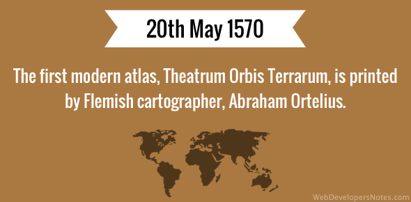
Theatrum Orbis Terrarum, the first modern atlas created by Flemish cartographer, Abraham Ortelius, was printed on 20th May 1570.
The atlas was printed in Antwerp and had a collection of uniform map sheets and text. Copper plates were specifically engraved for the book.
Abraham Ortelius is also credited to have come up with the idea of the continents all being joined together (Pangaea) a long time back and have now drifted apart.
Theatrum Orbis Terrarum means Theatre of the World.